Move in one direction
Pair Mito and Kairakuen with either the northern flower park or Oarai coast.
KANTO · REGIONAL PLANNING BRIEF
茨城県 · in Japanese
Best for gardens, flowers and coastal escapes.
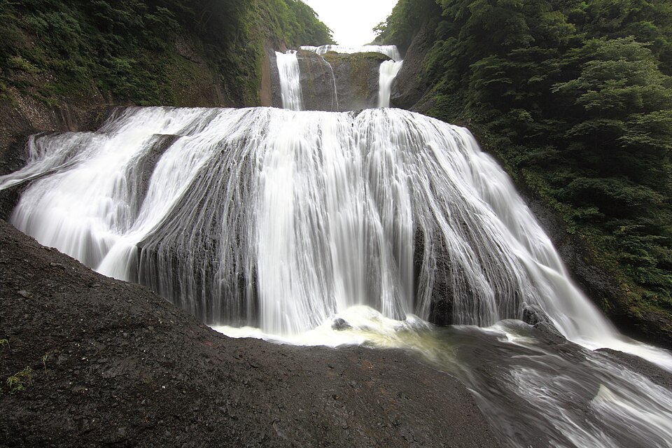
Photo: TANAKA Juuyoh (田中十洋) · CC BY 2.0
Fukuroda Falls - 袋田の滝(ふくろだのたき).jpg · TANAKA Juuyoh (田中十洋) · CC BY 2.0.
Source credit: Waterfalls / 袋田の滝(ふくろだのたき)
Attribution source 1 · Attribution source 2
Resized to 960 pixels wide by Wikimedia thumbnail service; no other edits. The displayed image remains available under the linked license. No endorsement by the photographer is implied.
A regional planning brief: not a timed itinerary or a venue-by-venue review.
QUICK ORIENTATION
Ibaraki lies northeast of Tokyo on the Pacific coast. Mito is the main city, while Oarai is coastal and Hitachi Seaside Park is farther north.
SOURCE CHECK · Location and trip-shape review completed 19 August 2026. JNTO Ibaraki destination guide ↗. Reconfirm schedules, event dates, opening rules and reservations before travel.
Take the airport bus from Ibaraki Airport to Mito, or use JR limited-express trains from Tokyo to Mito.
anko hotpot, Hitachi beef and natto
February–March for plum; April–May or October for Hitachi flowers
Mito Station for rail and buses; Oarai for a coastal night
BEFORE YOU BOOK
Start with the transport constraint, then keep the part of Ibaraki that fits it. The stay length above is an editorial allowance, not a minimum needed to enjoy the region.
Pair Mito and Kairakuen with either the northern flower park or Oarai coast.
Limited-express rail reaches Mito; buses and a car make outer sights easier.
Seasonal flower-park entry and peak plum-season accommodation.
Kasama pottery galleries, Mito museums and market food.
COMPARE THE ROUTE
Other places in Kanto to compare. These are browsing suggestions, not a checked sequence of connecting trains or buses.
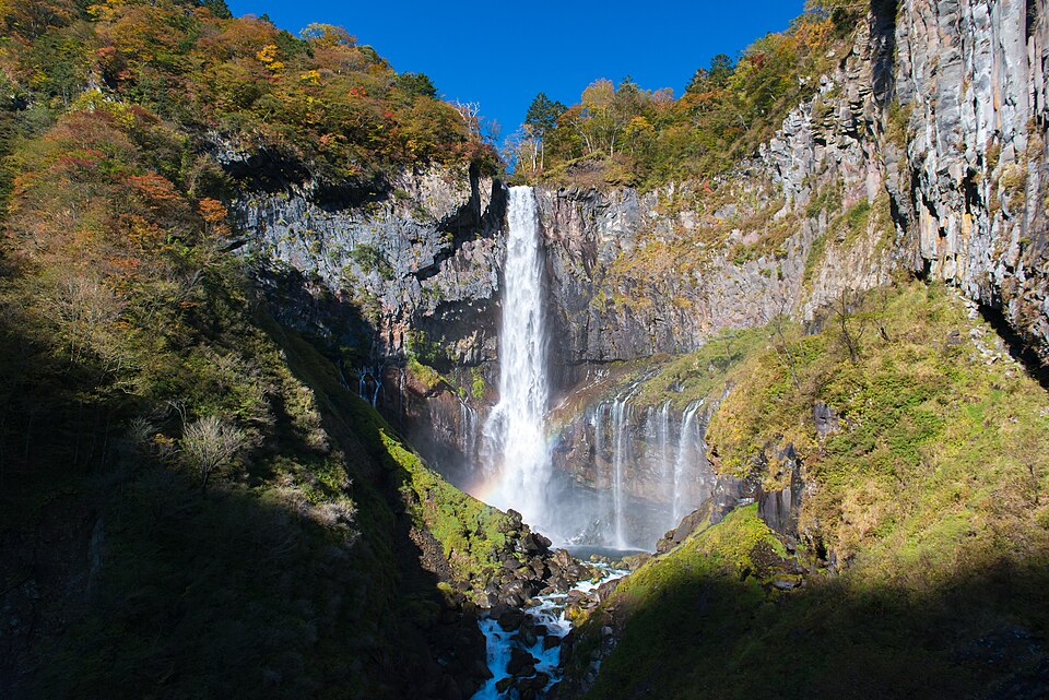
Photo: Jordy Meow · CC BY-SA 3.0
Kegon Taki.jpg · Jordy Meow · CC BY-SA 3.0.
Source credit: Own work
Resized to 960 pixels wide by Wikimedia thumbnail service; no other edits. The displayed image remains available under the linked license. No endorsement by the photographer is implied.
UNESCO shrines, nature and ceramics. Start with Nikko.
COMPARE TOCHIGI →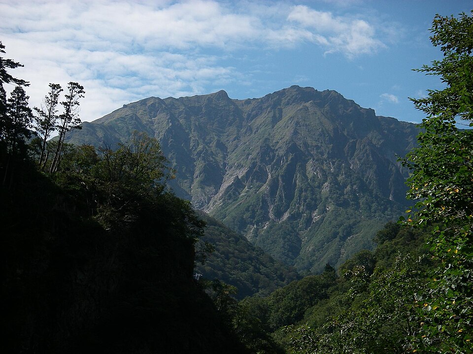
Photo: Brian Adler · Public domain
Tanigawa-dake, October 2007.jpg · Brian Adler · Public domain.
Source credit: Own work
Resized to 960 pixels wide by Wikimedia thumbnail service; no other edits. The displayed image remains available under the linked license. No endorsement by the photographer is implied.
onsen, mountains and silk heritage. Start with Kusatsu Onsen.
COMPARE GUNMA →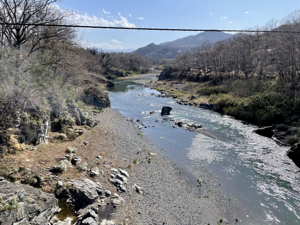
Photo: Tmv · CC BY-SA 4.0
Arakawa River from Takasago Bridge in Nagatoro, Saitama 3.png · Tmv · CC BY-SA 4.0.
Source credit: Own work
Resized to 960 pixels wide by Wikimedia thumbnail service; re-encoded from PNG to JPEG at the same size for faster loading; no other edits. The displayed image remains available under the linked license. No endorsement by the photographer is implied.
easy day trips, old towns and railway culture. Start with Kawagoe.
COMPARE SAITAMA →