Move in one direction
Use Niigata City for food and sake, then choose Sado Island or the mountain/art region.
CHUBU · REGIONAL PLANNING BRIEF
新潟県 · in Japanese
Best for rice, sake, snow and art.
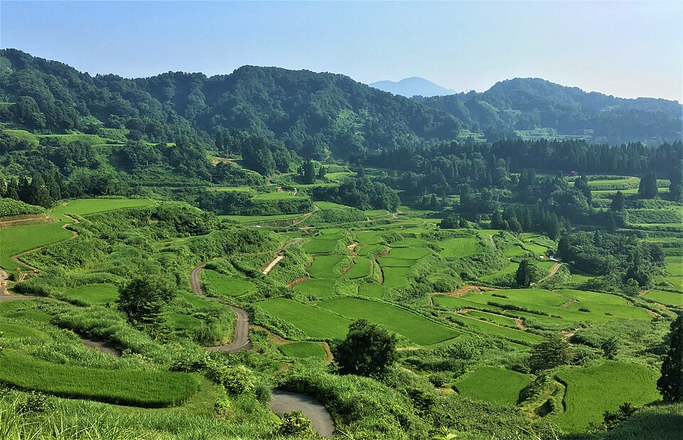
Photo: Nihongo1234 · CC BY-SA 4.0
Hoshitoge Rice Terraces 2.jpg · Nihongo1234 · CC BY-SA 4.0.
Source credit: Own work
Resized to 960 pixels wide by Wikimedia thumbnail service; no other edits. The displayed image remains available under the linked license. No endorsement by the photographer is implied.
A regional planning brief: not a timed itinerary or a venue-by-venue review.
QUICK ORIENTATION
Niigata stretches along the Sea of Japan coast north of Nagano and includes Sado Island. Niigata City is in the north, while the mountain and art areas extend far south.
SOURCE CHECK · Location and trip-shape review completed 19 August 2026. JNTO Niigata destination guide ↗. Reconfirm schedules, event dates, opening rules and reservations before travel.
Take the airport bus to Niigata Station or the Joetsu Shinkansen from Tokyo. Sado Island requires a ferry from Niigata Port.
Koshihikari rice, hegi soba, seafood and sake
May–October for Sado; winter for snow and sake
Niigata Station for transport; Echigo-Yuzawa for mountain access
BEFORE YOU BOOK
Start with the transport constraint, then keep the part of Niigata that fits it. The stay length above is an editorial allowance, not a minimum needed to enjoy the region.
Use Niigata City for food and sake, then choose Sado Island or the mountain/art region.
Shinkansen is easy; island ferries and rural art sites require a fixed timetable.
Sado ferry/vehicle space, festival lodging and art-season transport.
Sake museums, market food and Tsubame-Sanjo workshops.
COMPARE THE ROUTE
Other places in Chubu to compare. These are browsing suggestions, not a checked sequence of connecting trains or buses.
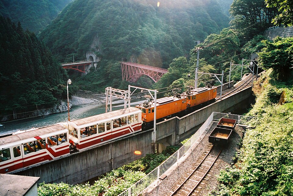
Photo: Hiroyuki Mori from Nishinomiya, Japan · CC BY-SA 2.0
Kurobe Gorge Railway 07.jpg · Hiroyuki Mori from Nishinomiya, Japan · CC BY-SA 2.0.
Source credit: FH010001
Attribution source 1 · Attribution source 2
Resized to 960 pixels wide by Wikimedia thumbnail service; no other edits. The displayed image remains available under the linked license. No endorsement by the photographer is implied.
alpine scenery, glass and seafood. Start with Tateyama Kurobe.
COMPARE TOYAMA →
Photo: Chi King · CC BY 3.0
Kasumigaike Pond at Kenrokuen 500px photo (188687285).jpg · Chi King · CC BY 3.0.
Source credit: Imported from 500px (archived version) by the Archive Team. (detail page)
Attribution source 1 · Attribution source 2 · Attribution source 3 · Attribution source 4 · Attribution source 5
Resized to 960 pixels wide by Wikimedia thumbnail service; no other edits. The displayed image remains available under the linked license. No endorsement by the photographer is implied.
gardens, craft and refined food. Start with Kanazawa.
COMPARE ISHIKAWA →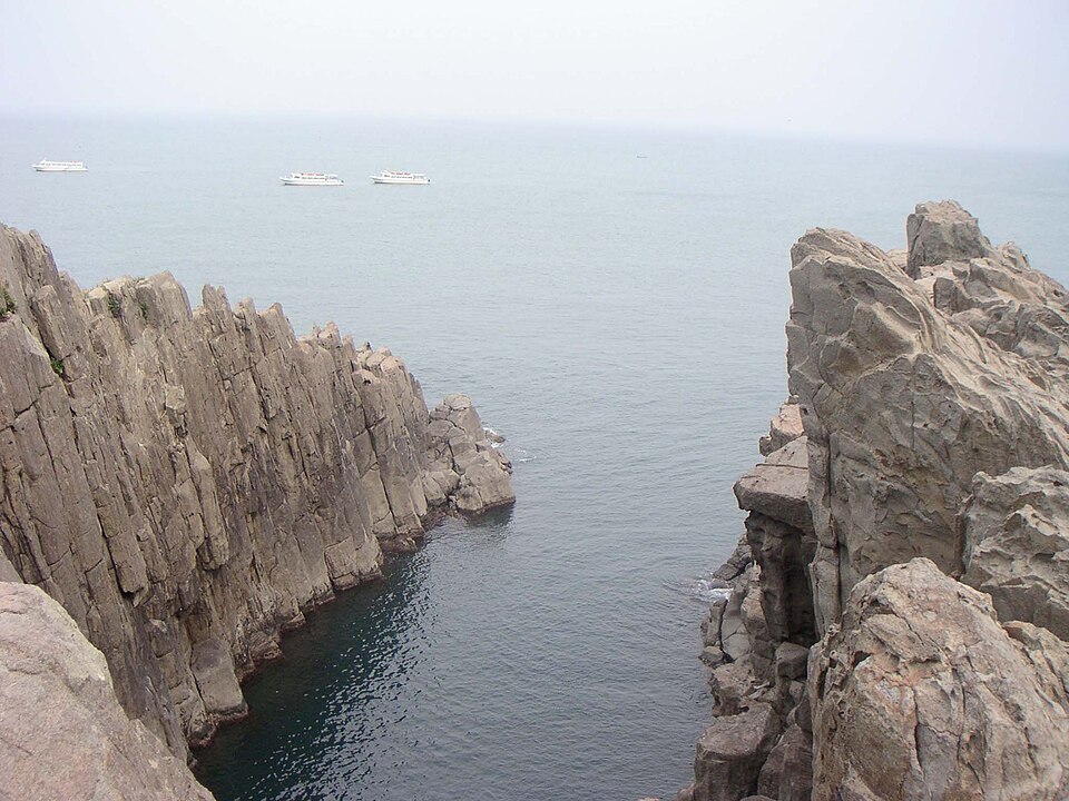
Photo: っ · CC BY-SA 3.0
Tojinbo Oike 200507.jpg · っ · CC BY-SA 3.0.
っ
Source credit: Own work
Resized to 960 pixels wide by Wikimedia thumbnail service; no other edits. The displayed image remains available under the linked license. No endorsement by the photographer is implied.
dinosaurs, temples and craftsmanship. Start with Dinosaur Museum.
COMPARE FUKUI →